Autonomous Vehicles: Hardware and Sensor Fusion
Navigating the complex interplay of LiDAR arrays, high-resolution radar, and real-time computation required for SAE Level 4 and 5 autonomous operation.
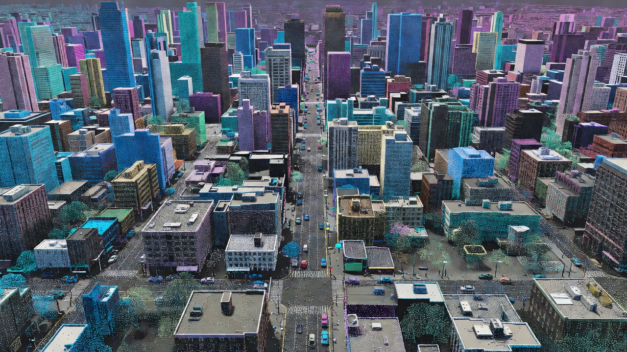
The progression toward fully autonomous vehicles (AVs)—defined by the Society of Automotive Engineers (SAE) as Level 4 (highly automated within operational design domains) and Level 5 (fully automated in all conditions)—is fundamentally an exercise in data ingestion, processing, and hardware reliability. While public attention frequently focuses on the machine learning algorithms, the physical sensors and the compute architectures running them dictate the absolute limitations of the system.
The Sensor Triad: Vision, Radar, and LiDAR
No single sensor type can guarantee 100% operational safety across all environmental conditions. Consequently, the industry consensus relies on "sensor fusion," integrating disparate data streams to create a cohesive, redundant 3D map of the vehicle's environment.
1. High-Dynamic Range (HDR) Cameras
Vision-based systems offer the highest resolution and are uniquely capable of color distinction, making them indispensable for reading traffic lights, road markings, and signage. However, passive optical sensors degrade rapidly in low-light conditions, heavy rain, or fog, and struggle with direct solar glare. To compensate, modern AVs utilize arrays of 8 to 12 overlapping HDR cameras operating at 30-60 frames per second.
2. Radio Detection and Ranging (Radar)
Radar operates in the millimeter-wave spectrum (typically 77 GHz for automotive applications). Its primary advantage is weather resistance; radar penetrates fog, rain, and snow where optics fail. It directly measures the velocity of surrounding objects via the Doppler effect. Traditional radar suffers from low spatial resolution, making it difficult to distinguish a stopped car from an overpass. The current hardware trend is moving toward 4D imaging radar, which adds elevation data and significantly higher point density.
3. Light Detection and Ranging (LiDAR)
LiDAR emits pulsed laser beams (frequently at 905nm or 1550nm wavelengths) to measure distances with sub-centimeter accuracy, generating dense 3D point clouds. It operates independently of ambient light. Historically cost-prohibitive, solid-state LiDAR (which eliminates moving mechanical parts) has dramatically reduced unit costs while improving reliability under high-vibration automotive conditions.
Computational Architecture and Edge Processing
Generating a detailed environmental map is only the first step. An AV equipped with a full sensor suite can produce between 1 to 4 terabytes of raw data per hour. Transmitting this volume to the cloud for processing is impossible given bandwidth limitations and latency requirements. Therefore, AVs operate as rolling edge-computing servers.
The internal computing architecture must execute the following pipeline in fractions of a second:
- Perception: Fusing the data streams to identify and classify objects.
- Prediction: Calculating the probable future trajectories of identified dynamic objects (pedestrians, cyclists, other vehicles).
- Planning: Determining the safest and most efficient path for the AV.
- Actuation: Sending analog signals to the drive-by-wire steering, braking, and acceleration systems.
Sensor Comparison Specifications
| Sensor Type | Primary Strength | Primary Weakness | Typical Range | Weather Reliability |
|---|---|---|---|---|
| Optical Camera | Color/Texture Recognition | Poor low-light/glare performance | Up to 250m | Low |
| Millimeter-Wave Radar | Direct velocity measurement | Low spatial resolution | Up to 300m | High |
| LiDAR (1550nm) | Precise 3D spatial mapping | High cost, power consumption | Up to 250m | Moderate |
| Ultrasonic | Extreme short-range accuracy | Very limited range | Up to 5m | High |
Regulatory and Infrastructure Dependencies
The deployment of Level 4 systems remains geographically constrained by their Operational Design Domain (ODD). An ODD defines the specific conditions under which the AV is designed to function, such as restricted speeds, geofenced urban areas, or mapped highway segments. Regulators are increasingly requiring exhaustive safety documentation, moving away from simple miles-driven metrics toward scenario-based testing methodologies.
Furthermore, AV reliability increases exponentially when supported by external infrastructure. Vehicle-to-Everything (V2X) communication allows AVs to receive signal phase and timing (SPaT) data directly from traffic lights, effectively "seeing" around blind corners. However, the rollout of this smart infrastructure is heavily dependent on municipal budgets and standardized communication protocols.